
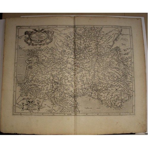
AQUITAINE LANGUEDOC PROVENCE FRANCE 1619 MERCATOR ANTIQUE COPPER ENGRAVED MAP
Description
Aquitania australis Regnu Arelatense cum confinijs. Per Gerardum Mercatorem Cum Privilegio.
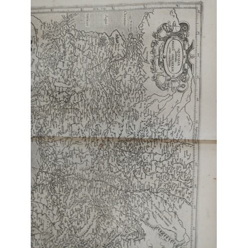
Description: Striking and highly detailed interesting 1619 approx. Gerard Mercators copper engraved regional map of France. cobers the regions of Aquitaine, Languedoc, Savoy and Provence. Includes parts of Switzerland, northewestern Italy and Spain. The map is filled with excellant topographic details on cities, towns, rivers, lakes, bays, forests, reliefs and islands. A strapwork title cartouche and a strapwork mileage scale cartouche adorn the map. German text at the verso.
Date: 1619 approx. ( undated )
Dimension: Paper size approx.: cm 56,2 x 46,6
Condition: Very strong and dark impression on good paper. Paper with chains and wiremarks. Map uncolored. Wide margins. Corners partially missing. Small foxing and browning. Small marginal tears. Small inks. Map folded. Conditions are as you can see in the images.
Mapmaker: Gerard Mercator (1512 – 1594)
Gerard Mercator was born as Gerard de Cremere in Rupelmonde (near Antwerp) on 5 March 1512. Young Gerard learned what Latin he could in Rupelmonde, and when he was about fifteen, his uncle sent him to ’s Hertogenbosch to study at a school run by the Brothers of the Common Life.
AQUITAINE LANGUEDOC PROVENCE FRANCE 1619 MERCATOR ANTIQUE COPPER ENGRAVED MAP
- Product Code: 10117
- Availability: In Stock