
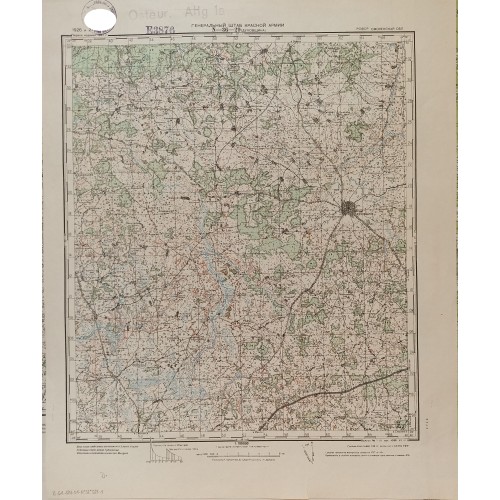
This vintage topographical military map, designated sheet "N-36-29 (DUKHOVSHCHINA)" and titled "ГЕНЕРАЛЬНЫЙ ШТАБ КРАСНОЙ АРМИИ" (General Staff of the Red Army), depicts the region of Dukhovshchina within the Smolensk Oblast of the RSFSR. Based on surveys from 1926 and 1927 and published in 1941, the map presents detailed topographical relief, forest coverage, river systems, road networks, smaller settlements, and military grid coordinates at a scale of 1:100,000. The upper left margin features archival institutional library stamps and reference marks.
Size: paper size 55.5x44 cm, map size 40x37 cm.
Condition: In excellent condition. other side is clear.
VINTAGE SOVIET MILITARY TOPOGRAPHICAL MAP 1941 DUKHOVSHCHINA SMOLESNK RED ARMY GENERAL STAFF
- Product Code: 4444
- Availability: In Stock