
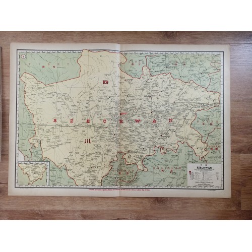
SICHUAN CHINA 1917 DINGLE ANTIQUE ORIGINAL COLORED LITHOGRAPHIC ENGRAVED MAP
📢 Guaranteed original 1917 printing. Not a modern reproduction.
📖 Description: This map was created by the Far Eastern Geographical Establishment and John Edwin Dingle in 1917. It is part of an atlas published by North-China Daily News & Herald, Ltd., measuring 35 cm by 50 cm. The map represents Jiangxi Province in China with a scale of 1:1,676,850.
This map is part of a national atlas, which combines text, maps, and graphics to present a comprehensive view of China’s geography and economy. The atlas contains numerous visualizations of statistical data, reflecting the era’s interest in economic and trade analysis through geographical representation.
📆Date: 1917( undated )
🖼 Dimension: Paper size approx.: cm 78 x53,7
📌Condition: Very strong and dark impression on good paper. Map old original colored. Small foxing and browning. Map folded. Conditions are as you can see in the images.
👩🦱 Mapmaker: Edwin John Dingle was an English journalist, author and founder of the Institute of Mentalphysics in California, US.
Szechwan (Sichuan/Chongqing) China Antique Original Colored Lithographic Map 1917
- Product Code: 10103
- Availability: In Stock